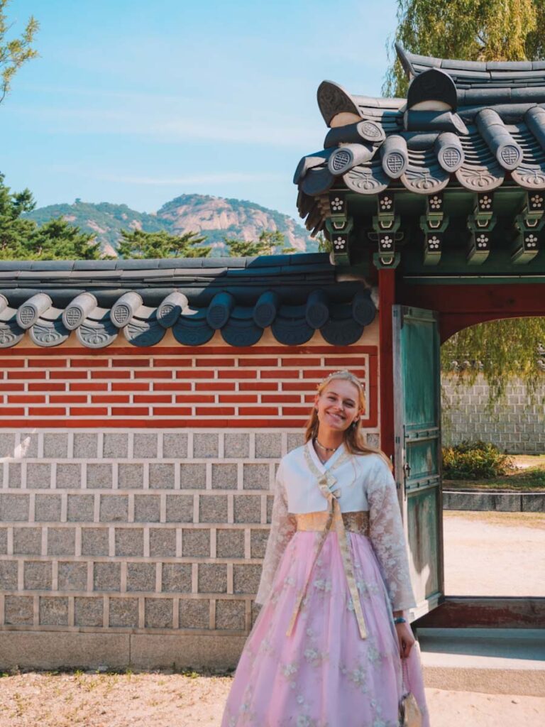
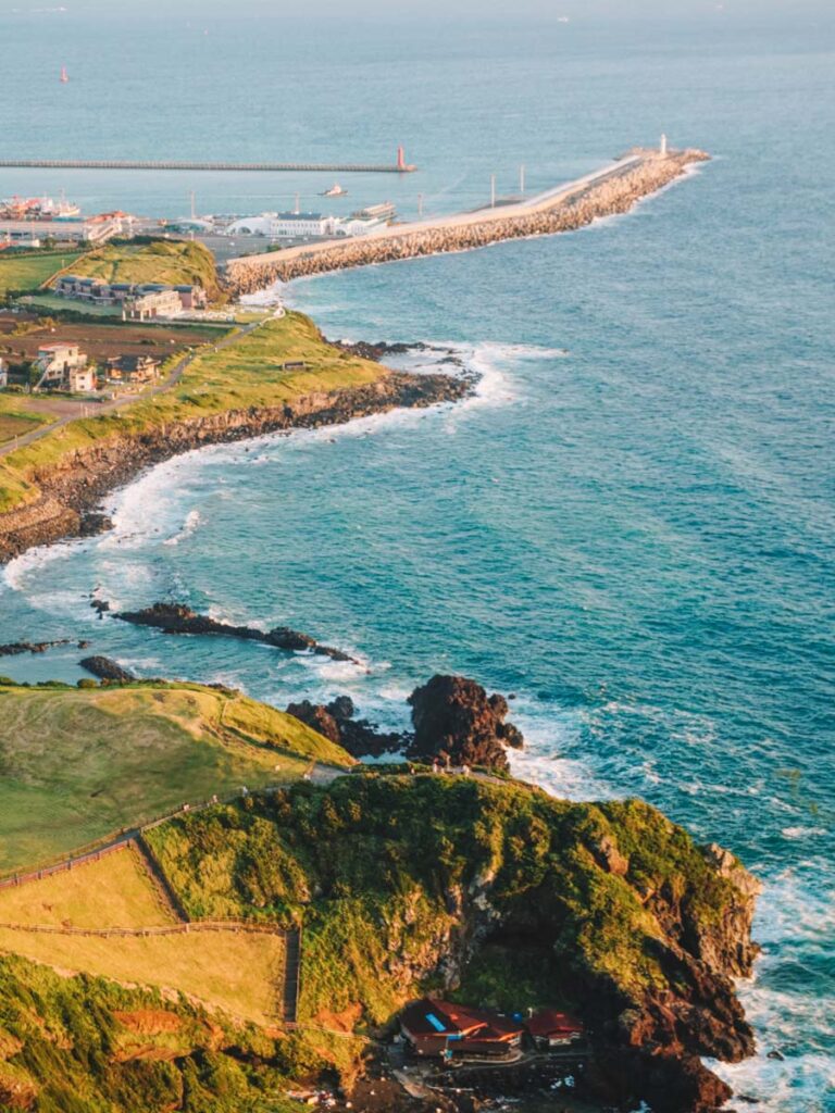
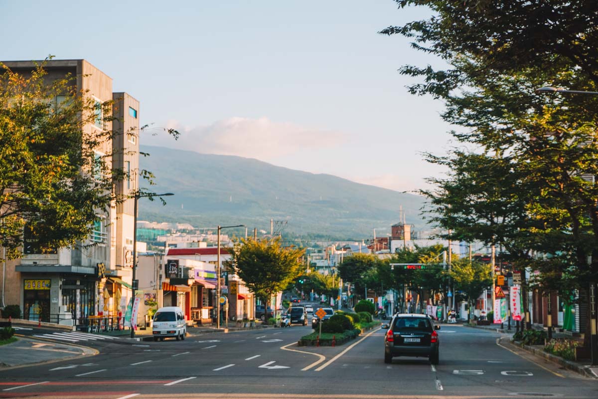
About Mount Hallasan
Mount Hallasan is located right in the middle of Jeju island, which is only 1 hour and 15 minutes away from Seoul. The mountain is part of the Hallasan national park, which is home to 7 different hiking trails. All paths will bring you through the stunning nature and lush surroundings of the dormant volcano. However some trails are longer and more difficult than the others, and only two of these trails lead to the very peak of the mountain. We will discuss these two trails in this post.
What are the opening hours?
Before getting into the hike itself, it is good to note the trails have opening, closing, and cut off times. You are not allowed to hike in the dark or camp, so ascending and descending times are set and enforced by rangers. Below you can find the times.
Starting time
In spring and autumn (March, April, September, and October), the trails to the peak open at 5:30am. In winter (November to February) it is 6:00am and in summer (May to August) it is 5:00am.
Cut off time
The two trails leading to the summit of mount Hallasan also each have a control station nearing the top. When ascending, you have to reach these stations by the times below otherwise they will not allow you to ascend any further.
In spring and autumn (March, April, September, and October), the cut off time is 12:30pm. That is 12:00pm in winter (November to February) and 1:00pm in summer (May to August).
Descending time
The summit also has a closing time, so you will need to start your descend before the times below so everyone makes it down before dark.
In spring and autumn (March, April, September, and October), you need to start descending before 2:00pm. That is 1:30pm in winter (November to February) and 2:30pm in summer (May to August).
Best time to visit
Even though you can hike to the peak of the mountain year-round, you will find the best weather conditions in spring and autumn. The weather will be pleasant, not too hot and not too cold, and the surroundings will be colourful and blooming. The chances of rain will also decrease in spring and autumn, as most rain will fall in the summer months.
Make a reservation
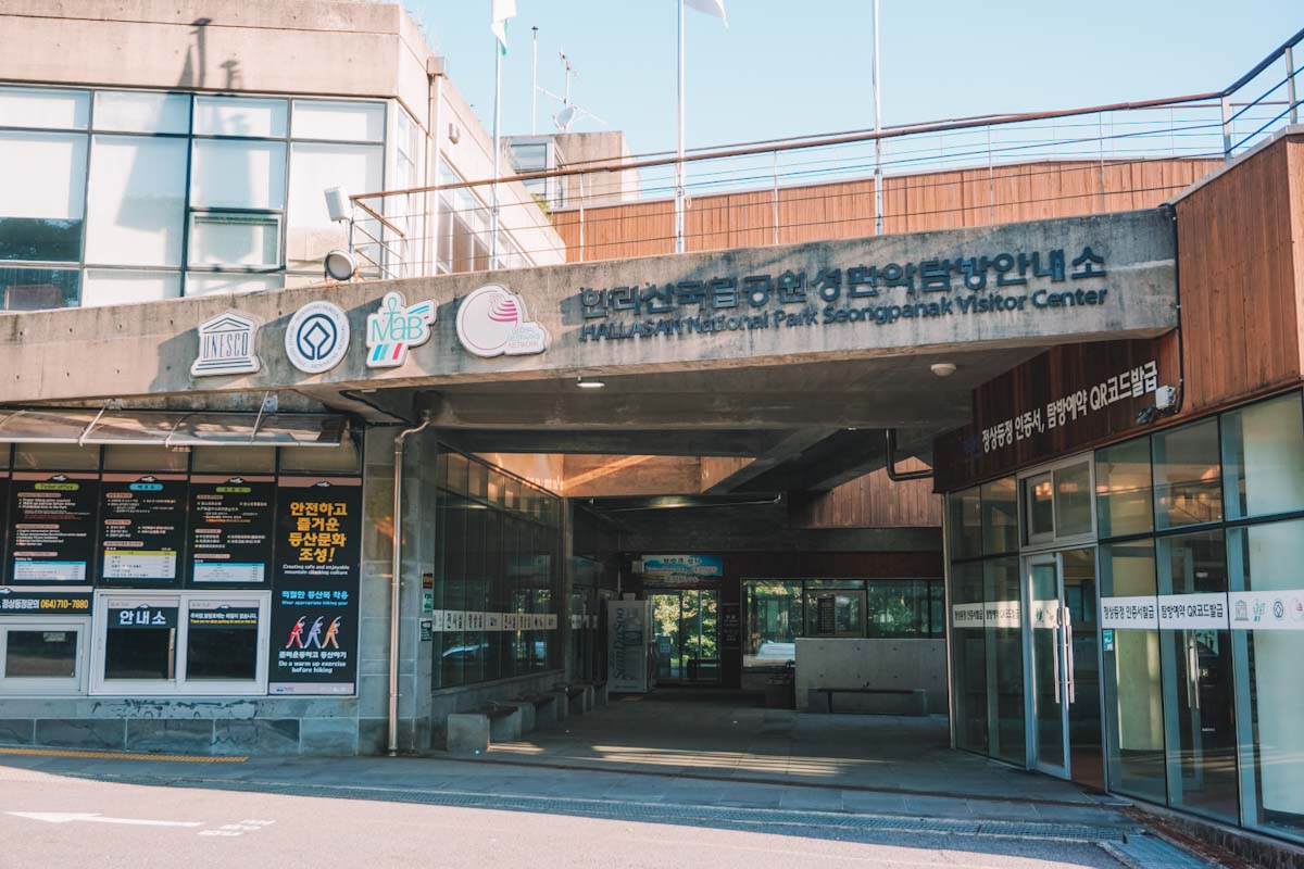
In order to hike mount Hallasan, you need to make a reservation. At the entrance of both summit trails, you will have to show the QR code of your reservation and your passport/ID. This is done to control the amount of people at the top, to avoid it from becoming too crowded, and so they know everyone made it out safe. To make a reservation, go to visithalla.jeju.go.kr and select your starting time/location. There are a set amount of spots available per day, so make a reservation ahead of time so you don’t miss out (especially if you’re planning to go on a weekend).
Hike to the summit
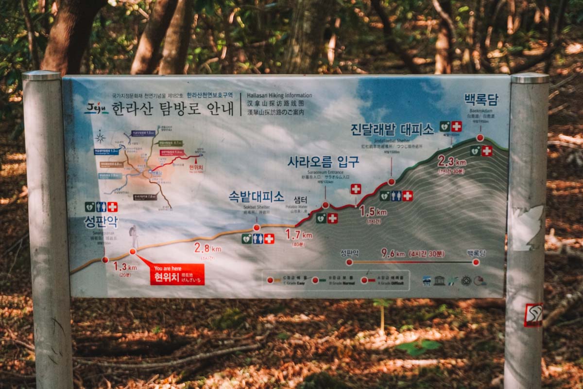
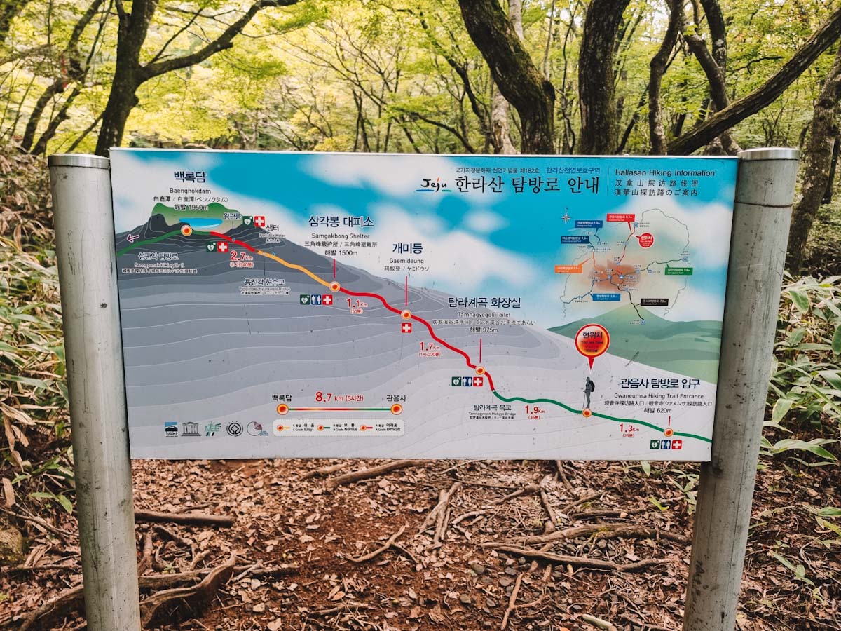
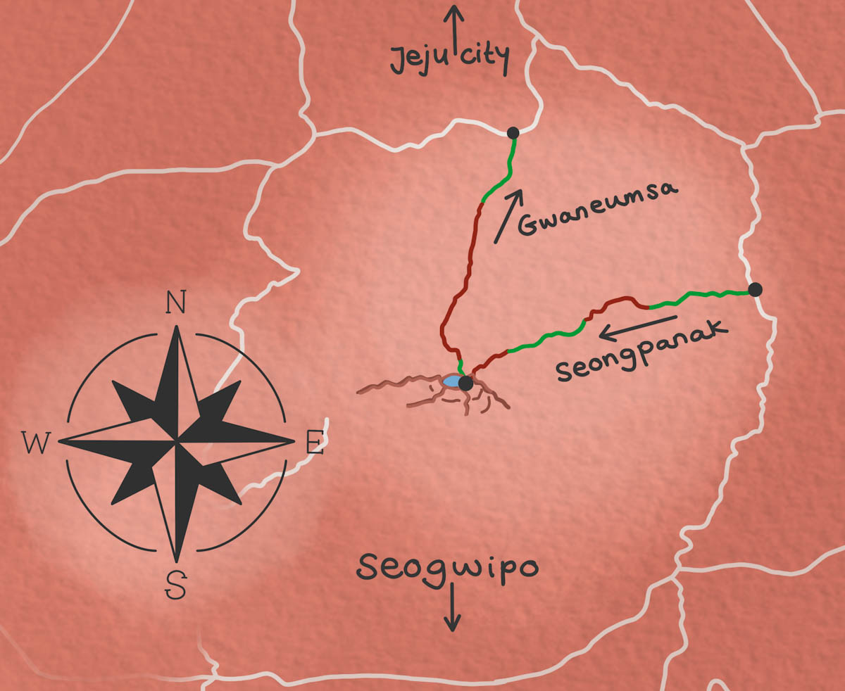
To go to the peak of mount Hallasan, there are only two trails to take, namely the the Seongpanak and Gwaneumsa trail. The start of the Seongpanak trail is located on the east side of the mountain, while the start of the Gwaneumsa trail is on the north. You pick either one of the trails to hike up and down, or go up one and down the other. Below you can find some information about both these trails.
Seongpanak trail
At 9.6 km, it is the longer but a more gradual incline. This is the more popular and thus more crowded trail. It will take you between 3 and 4.5 hours one way.
Gwaneumsa trail
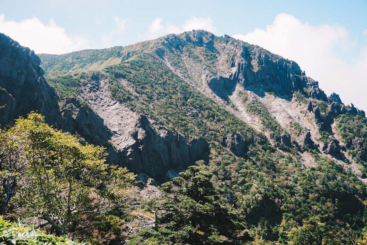
At 8.7 km, this trail is shorter in distance but not duration as the path is much steeper. It will take you between 4 and 5 hours one way. However, this trail is much more scenic.
What is the best route?
We ascended via the Seongpanak trail and came down the Gwaneumsa trail, which is definitely what we would recommend. Taking the Seongpanak trail up is much less intense than the Gwaneumsa trail up. But since the Gwaneumsa trail is far more scenic, it is great to take this way down. If you can only choose one trail, than you should decide whether you want to pick nice scenery but very intense or less scenic but easier.
How long does it take?
On average it takes between 6 and 8 hours to hike up and down mount Halassan. But this will depend on which trail you pick to ascend and descend, your hiking speed, and your breaks/time spent at the top. It took us 3.5 hours to go up via the Seongpanak trail. We spent 1 hour on the top. Then it took us 3 hours to go down via the Gwaneumsa trail.
Wanting to book?
Follow the links below for all your accommodation, transport, & activity needs!
Is the Mt. Hallasan hike difficult?
The mount Hallasan hike is pretty straight forward but do not underestimate it. We both are relatively fit and have done plenty of hikes before. But hiking this mountain is really a full day activity and is quite strenuous the legs. You’ll probably feel quite sore for a few days after. However, once completed you can say that you’ve reached the highest point of Korea, so that’s a win!
How to get to the base of the mountain
Depending on which trail you choose to ascend, you have to be in the east (Seongpanak) or north (Gwaneumsa) of the mountain. Possible ways to get to these entrance points are by car, taxi, or by bus. Parking spots are limited and fill up quickly and taxis can get quite pricey. Therefore, we highly recommend taking the bus to the starting points. The busses are cheap, comfortable, and start around 6am.
Since we highly advise you to take Seongpanak up and Gwaneumsa down, taking the bus there and back from the other entrance is ideal. We took bus 281 to and from Seogwipo and only took around 45 minutes.

Note: Make sure you have Kakao map app to see which bus is most ideal for you to take. And make sure you have your T-money card that you use for public transport.
Mt Hallasan map
Here you can find a map of mount Hallasan and the two starting points of the trails.
Our hike
We hiked mount Hallasan on a Saturday in September. While making a reservation a few days prior, we found out that only few spots were left. We reserved two spots for between 5:30am-7:59am, because 8:00am-9:00am were full. If possible, we’d suggest going during the week so it is less busy.
Seongpanak trail up
Coming from Seogwipo, we took bus 281 to the Seongpanak trail. This took around 45 minutes, we arrived at 7:30am. The lady at the entrance scanned our QR-codes, checked the passports, and we got in.
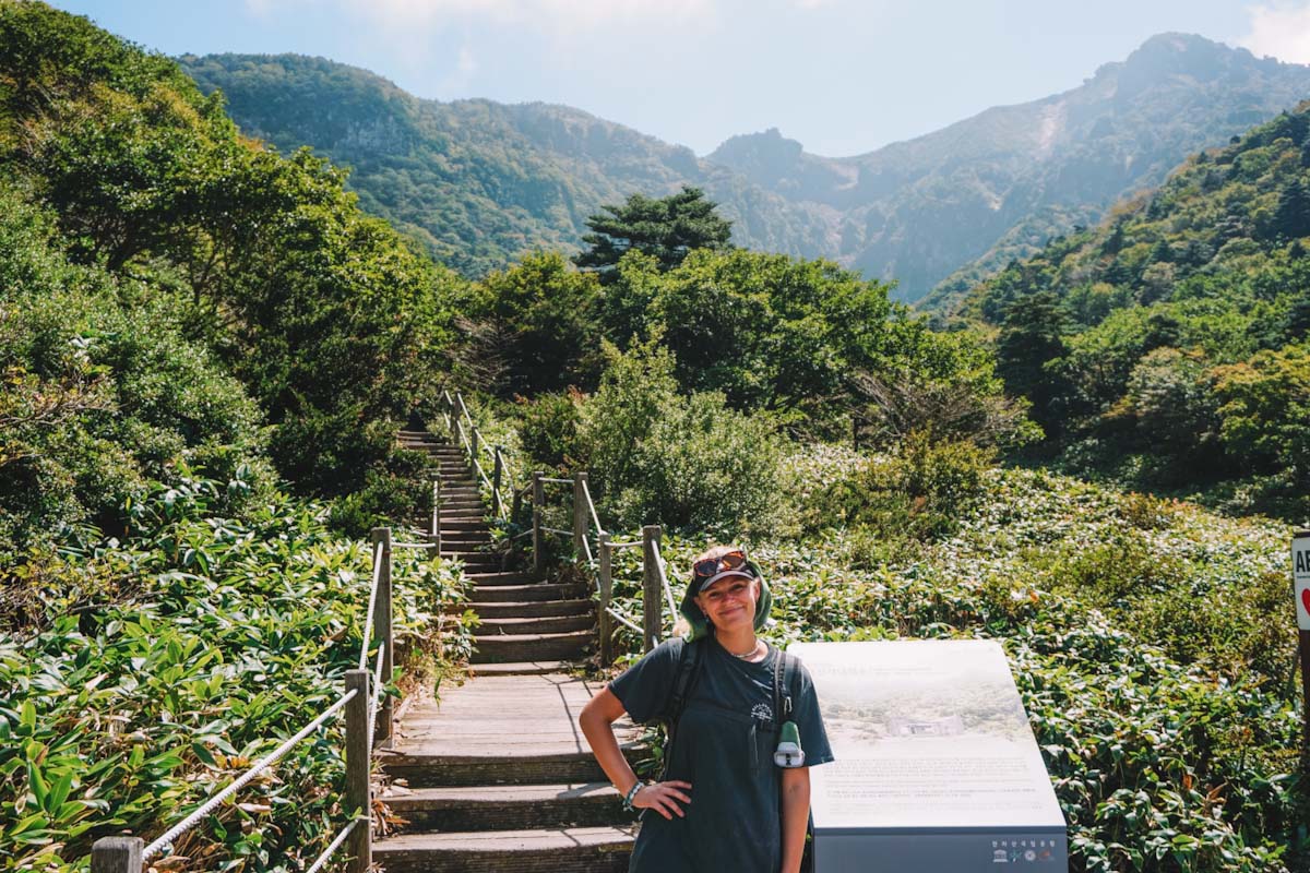
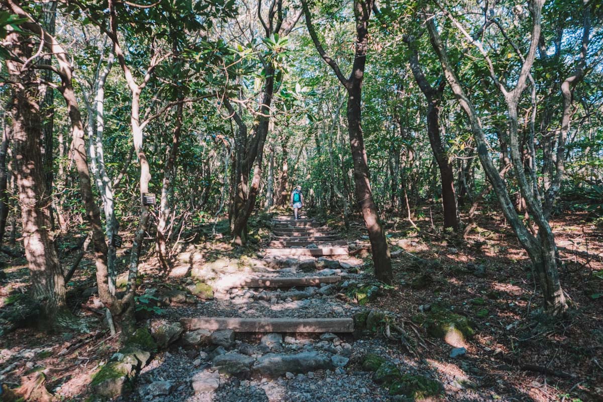
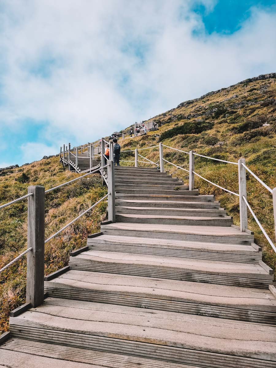
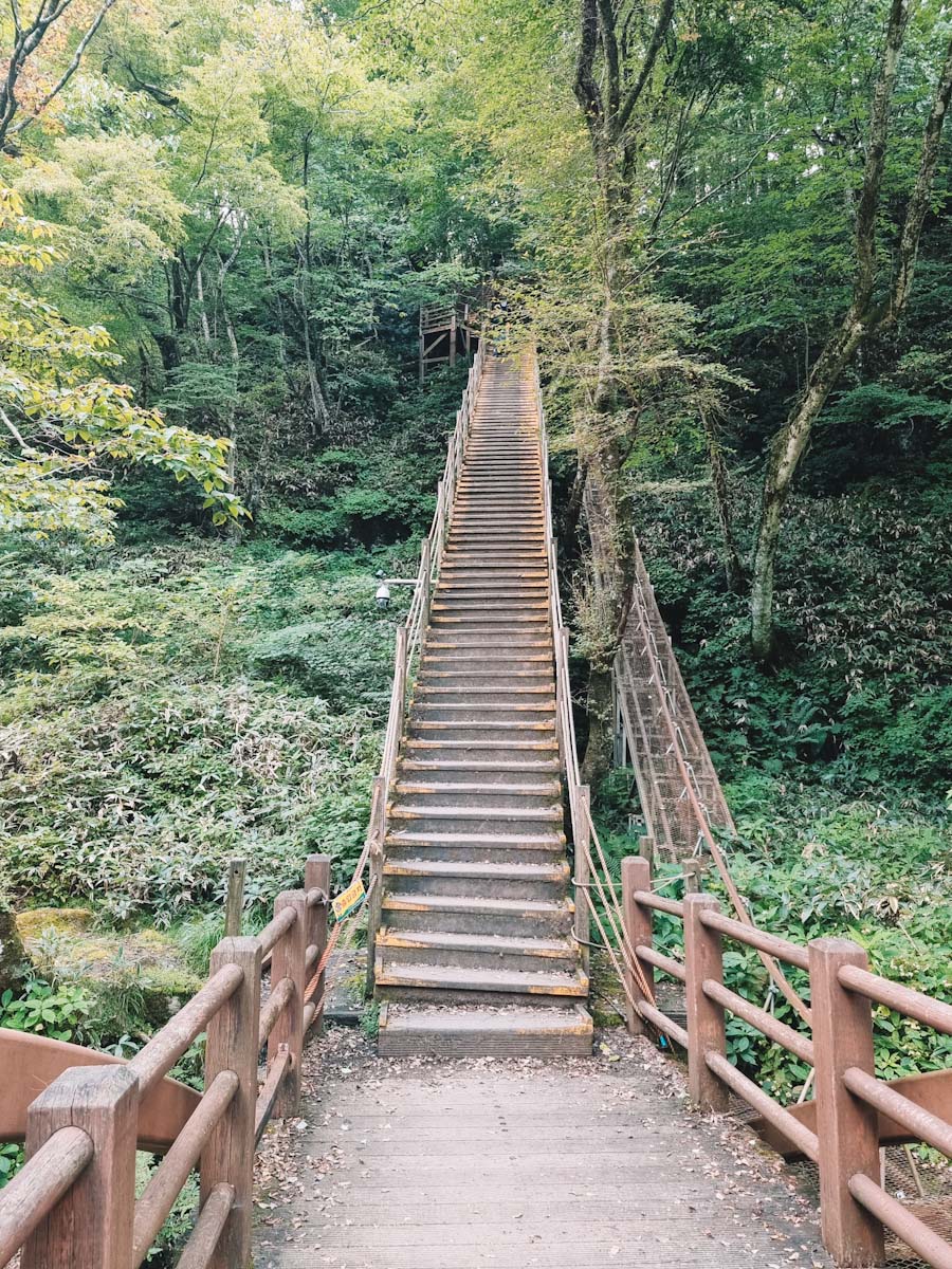
The trail starts very flat. You walk through the forest. Since it is early and shaded, the temperature is cool and pleasant. Only after the first 6 km, the road becomes steeper and more rocky. The path consists of big rock steps or wooden platforms and stairs. It is very well-maintained for a free hike.
Along the way, you’ll find about 3 places to go to the toilet. There are no shops, no places to fill your water, and NO TRASHCANS. So keep this in mind and bring enough to drink/eat.
Even though the trail started out empty, it became very busy. The path is sometimes narrow, so it is difficult to pass other hikers (or get passed). On top of that, on this particular Saturday, there was an ultra-marathon going on. Several runners came down this trail pretty quick, which was absolutely crazy to us.
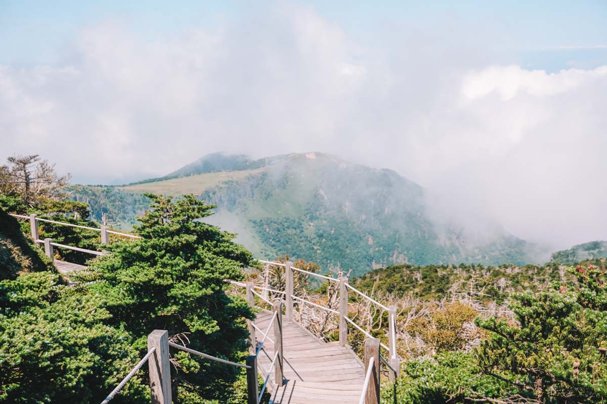
During the last part of the hike, the forest disappears and you’ll be walking out in the open. When the sun is shining, this can get very hot.
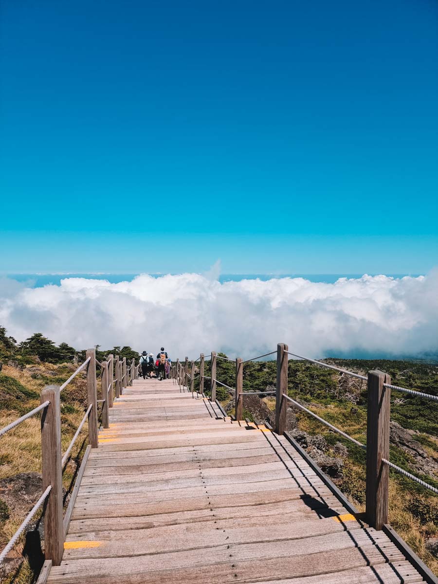
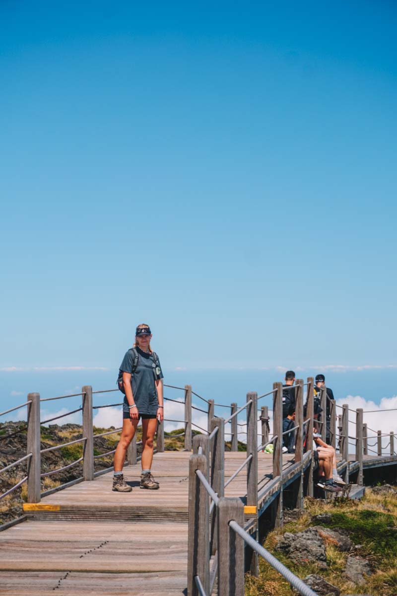
At the top
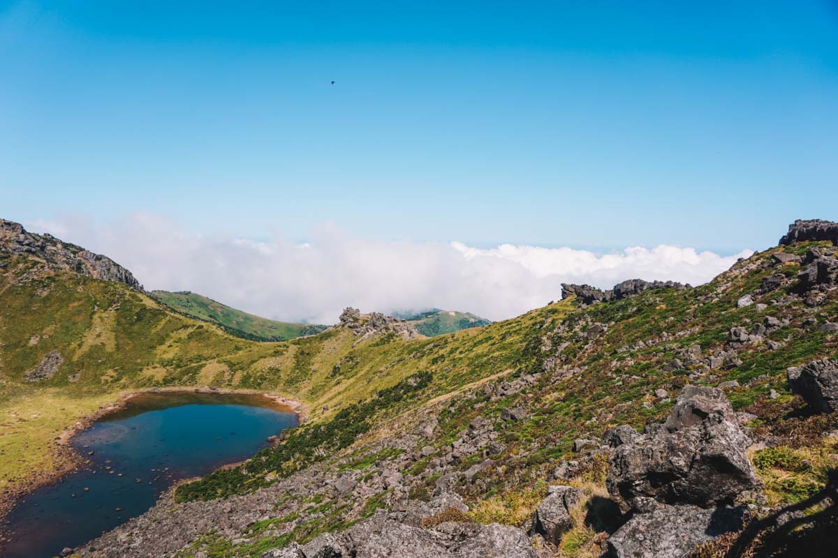
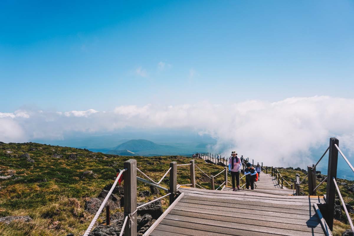
In full honesty, arriving at the top was not extremely relieving to us. The platform at the peak offers quite some space, but when we arrived it was absolutely packed. People sat down everywhere to recover and eat. And right through the platform was a huge line of people queuing for a photo next to the sign at the top. The view from the top was nice, but not amazing.
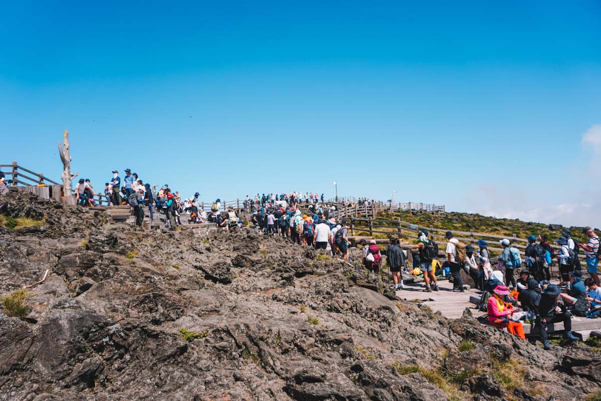
We decided to find a spot to sit for a while, eat some of our snacks, and recover before descending. We were at the peak for about an hour. During this time, the photo que didn’t become any shorter and the platform didn’t become any less crowded.
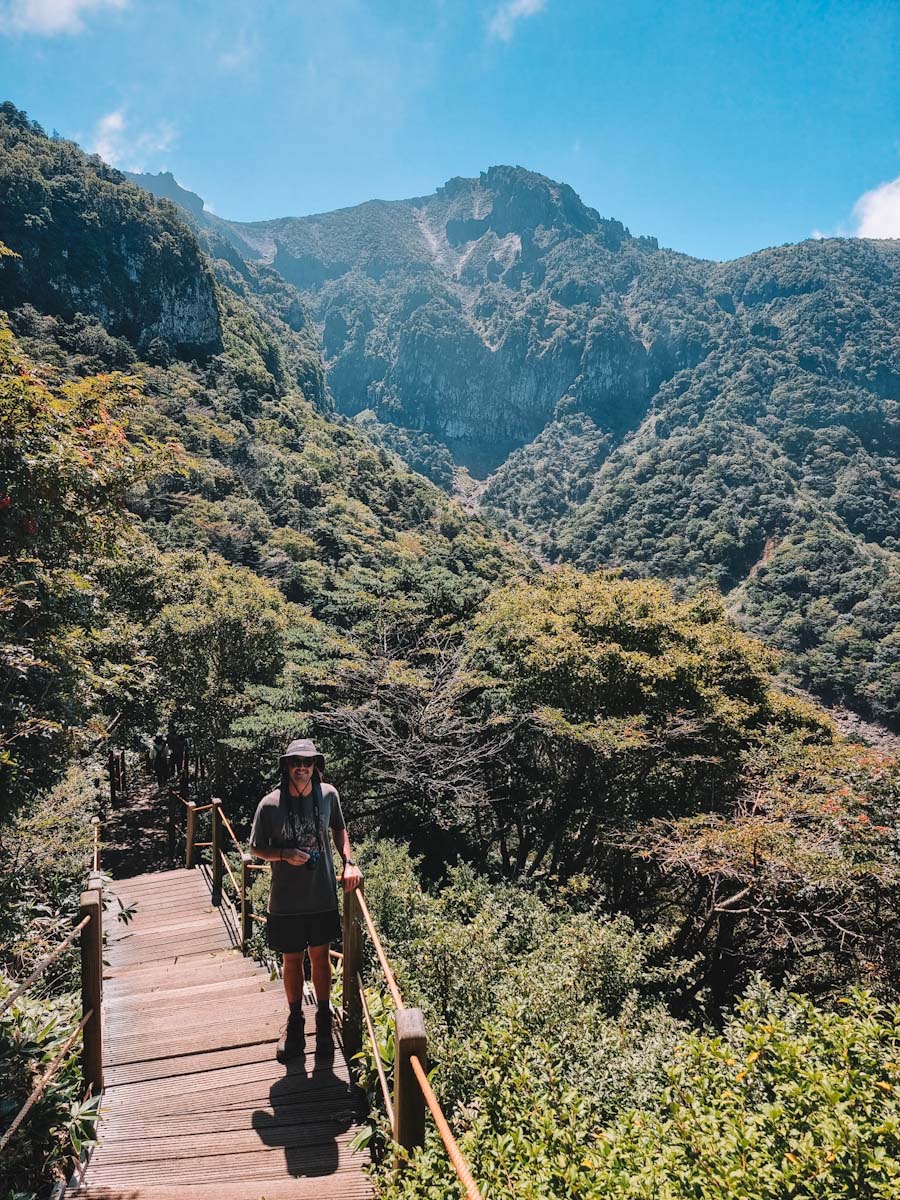
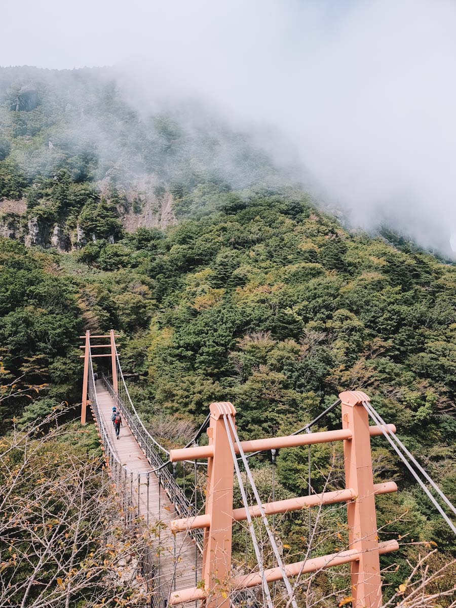
Gwaneumsa trail down
Already from just starting the descend, this trail was much better. It was far less crowded and the view was way more beautiful. The first hour was basically only stairs down. Which looked much steeper and more intense than on the way up.
Already from just starting the descend, this trail was much better. It was far less crowded and the view was way more beautiful. The first hour was basically only stairs down. Which looked much steeper and more intense than on the way up.
Do you need a guide?
No, you don’t need a guide to hike mount Hallasan. Both trails are very well maintained and the hiking paths are easy to follow. You will find many maps and signs along the way to guide you. The trails are steep, but not dangerous.
What to wear
Since the weather on mount Hallasan varies greatly per season, it is hard to say. The start of the hike is in the shade of the forest, but nearer to the top it gets more open. When the sun shines, it can get pretty hot. Make sure to protect yourself from the sun with a hat, sunnies, and sunscreen.
We recommend wearing sporty pants, either long or short depending on your preference. Wear a light shirt that is sweat permeable. We didn’t bring a jacket or jumper, but that was not necessary at all in September when we did it. Good hiking boots are nice to have, but average sneakers would do.
Other hikers, mainly local tourists, were heavily equipped and all wore long pants, long sleeves, jackets, and face protection. We were both in shorts and a t-shirt only. Both are totally fine, just depends on your preference.
Here’s a summary:
- Light clothing
- Good comfy shoes
- Sun protection
- Rain protection (if needed)
What to pack
Like we said, many local tourists were heavily equipped. Special hiking bags, walking sticks, and sweatbands. In our opinion, walking sticks are not needed.
The most important thing is to pack enough water and snacks. There is no spot on the mountain to buy any food or refill your water. We brought way too little water, only 1.6 litres between the two of us. Would not recommend doing this…
Another thing that is handy to have is a plastic bag. There is not a single trashcan anywhere along the trail. So you have to carry everything back down with you. Here’s a list;
- Pre-packed lunch
- 1.5L of water
- Snacks (think of something salty like chippies or nuts)
- Sunnies
- Sunscreen
- Sweat towel
Disclaimer: This blog contains affiliate links. When you book through our links we can earn a small commission, but the price you pay stays the same, it’s a win win! We’d really appreciate the support.